
The Arval Mobility Observatory ebook Towards an end to crashes
Amsterdam : The Lead to Smart Mobility
Mobility
11 Sep 2017
As we are more and more facing some environmental issues, pollution being the first factor being looked and worked at, Cities are slowly changing their landscape to better adapt transport and improve human’s health, reducing traffic, improving public transportation, offering alternatives that combine mobility, flexibility and pleasure.
The CVO as part of its duty and in line with its brand new publication on “Smart Cities, Smart Mobility” by Lukas Neckermann, is looking at some cities initiatives to solve all issues related to vehicles and initiatives that encourage mobility in a smart and responsible way.
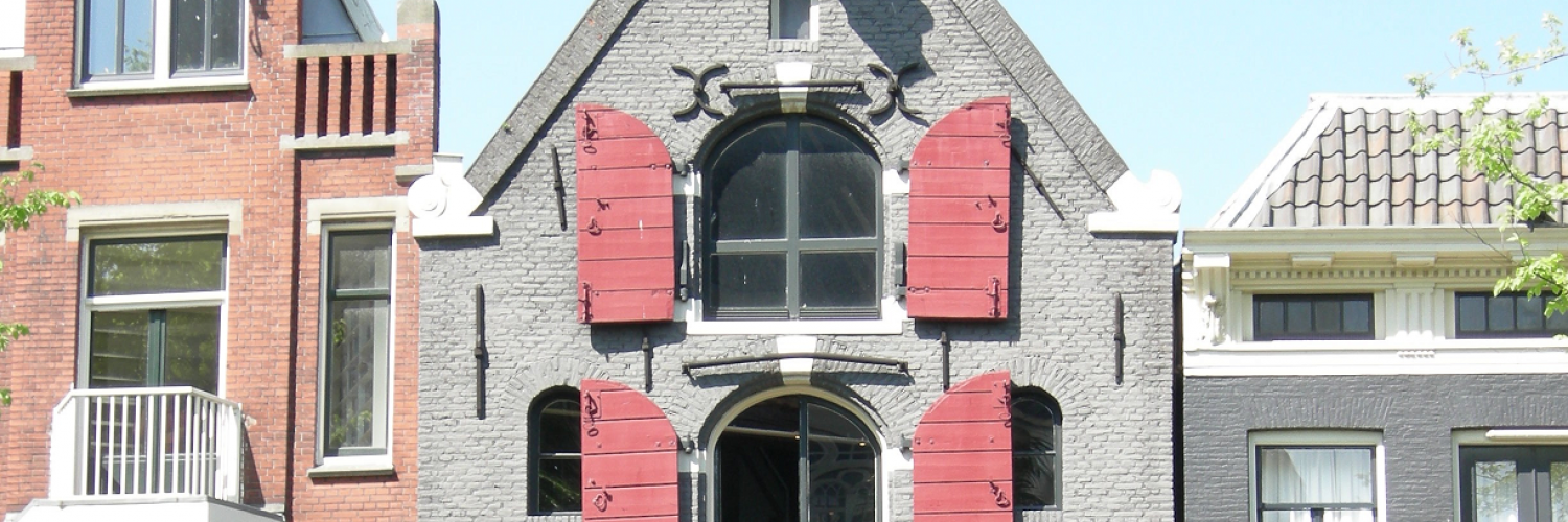
Amsterdam : The lead to Smart Mobility?
Background
Amsterdam is the capital and most populous municipality of the Kingdom of the Netherlands. Its status as the capital is mandated by the Constitution of the Netherlands, although it is not the seat of the government, which is The Hague. Amsterdam has a population of 851,373 within the city proper, 1,351,587 in the urban area, and 2,410,960 in the Amsterdam metropolitan area. The city is located in the province of North Holland in the west of the country. The metropolitan area comprises much of the northern part of the Randstad, one of the larger conurbations in Europe, with a population of approximately 7 million.
Mobility Challenges
Amsterdam is considered the world capital of cycling; 32% of traffic movement in Amsterdam is by bike and 63% of its inhabitants use their bike on daily basis. The number of registered electrical car owners increased with 53% to 28.889 in 2016. Since 2008 car sharing increased with 376%. However, this is less than 1% of the total car use.
Facts about Amsterdam
- 165 canals
- 11 000 000 approx. number of wooden poles that support Amsterdam buildings?
- 4 : number of meters below sea level of the Schiphol airport
- 1281 bridges
- 25 000 bicycles end up each year in the canals
- 881 000 number of bicycles registered
- 100 000 number of bicycles stolen each year
- 2500 houseboats
- 20 000 000 tourists per year
Infrastructures
Amsterdam’s historic downtown was ill-equipped to handle the massive influx of auto traffic. Narrow streets and the large number of canals made congestion a major problem in Amsterdam. Traffic safety also became a critical issue with over 3,300 (including 400 children) deaths by motor vehicles in 1971 in the Netherlands, for a rate 20% higher than the comparable figure in the US. The high number of traffic deaths, especially children, led to a series of public protests calling for improvements in traffic safety.
These pressing problems, combined with the oil crisis of 1973, sent Amsterdam on a new path aimed at increasing alternative forms of transit to the automobile. The Prime Minister of the Netherlands introduced a number of policies to decrease auto dependence. This included car free Sundays throughout Amsterdam, banning cars in entire neighbourhoods, investing in car sharing programs, and high central city parking fees. At the same time, Amsterdam also began extensively increasing its bicycle infrastructure and public transit systems. Separated bicycle lanes were built throughout the city, and traffic calming was put in place on many streets that did not have dedicated bicycle lanes.
Currently, there are sixteen tram routes and four metro routes, with a fifth route to be added when the North/South metro line is completed (due in 2017). All are operated by municipal public transport operator GVB, which also runs the city bus network.
Four fare-free GVB ferries carry pedestrians and cyclists across the IJ lake to the borough of Amsterdam-Noord, and two fare-charging ferries run east and west along the harbor. There are also privately operated water taxis, a water bus, a boat sharing operation, electric rental boats (Boaty) and canal cruises, that transport people along Amsterdam's waterways.
Regulation
Amsterdam has park & ride strategies, conduct dialogues with businesses and other stakeholders and provide traveler information tools. Mobile and social applications are mostly developed by private actors. The municipality does not offer car-pooling programs. No new facilities for vulnerable groups are to be built within a range of 300 m of a highway or 50 m of a provincial road (though it is possible to deviate from these rules).
Speed limits are set to 30 km/h in residential areas, where all traffic is mixed on one line. lane? Overall, there is a speed limit of 30 km/h on 90% of the roads.
The city has a low emission zone (LEZ) only for commercial and heavy goods vehicles, which was defined in 2008. Only Heavy Goods Vehicles (HGVs) that meet the Euro IV or Euro V standards and retrofitted Euro III less than 8 years old are allowed in the zone. Fines are rather steep at €230. Vehicles are automatically scanned and thus enforcement is close to 100%. Nevertheless, there are some exemptions and short-term permits with daily fees.
Amsterdam Practical Trial
Phase 1: separate testing of roadside and in-car systems (2014 - 2015)
how new technologies and methods on the road and in vehicle scan reduce congestion. In phase 1, APT tests roadside and in-car systems separately.
Roadside: test system on the road
The test of the new roadside system consisted of the further development of the existing system of traffic and slip road traffic lights on the A10 West in Amsterdam.
The intelligent system makes sure that traffic lights and slip road traffic lights automatically adjust in unison just before congestion on motorways escalates. It allows the motorway traffic to flow and the vehicles on the slip roads to enter the motorway.
In-car: test systems in vehicles
Road users in the Amsterdam region could download free apps. These apps show personalized and current information in cars for commuters and visitors to events in Amsterdam. They allow drivers to choose the best route and thus help reduce congestion. One of the apps’ features is to show the best route in real time. At times of high congestion, different road users are shown different routes and a reliable arrival time. The test is to assess the degree in which the apps better spread the traffic and the decrease congestion.
Phase 2: testing the integration of roadside and in-car systems (2015 - 2016)
Amsterdam Practical Trial’s second phase consisted of three tests that together and work towards the graduated integration of innovative roadside and in-car systems. The tests are in: APT Amsterdam North and Zaanstad; APT Amsterdam West; and APT Amsterdam South East.
APT North
The APT North test looked into improvements and the further potential of the tested intelligent roadside technologies system tested in phase 1. This trial also tests the application of the system in other parts of the Netherlands. APT North is on the N516 and the A8/A10 and the Verlengde Stellingweg road in the Municipality of Zaanstad.
APT West
APT West also tested improvements of the roadside system tested in phase 1. In the second part of the trial, APT West will test how this system can use ‘live’ traffic information from cars (floating car data). The objective of this test is to assess if it is a cost-effective method of improving traffic flow.
APT South East
The APT project in South East investigated how the congestion before, during and after events can be reduced. The test uses existing in-car and roadside technology to spread drivers across different carparks in the area. Depending on the location and needs of drivers, this will spread the traffic from the start of an event. One part of the test is to look at the options of acquiring traffic management and traffic information services four hours prior to an event, during it and two hours after it from specialized companies during which they may also use the government’s systems.
What’s next?
Several projects are being prepared for phase 3 (2017-2020).
Consolidation projects
These apply the previously successfully tested APT components such as Amsterdam Bereikbaar ( Amsterdam Accessible) whose objective is to attain maximum accessibility for the Metropolitan Region of Amsterdam (MRA).
Innovation projects
These focus on the further integration of the roadside and in-car systems. It involves tests that connect vehicles and operational traffic management with real-time travel, route and navigation advice. Service providers and road managers will collaborate in these projects.
The transportation policies undertaken in Amsterdam since 1970 have been so successful that congestion from bicycles is now more of an issue than congestion from cars. The government continues to invest in improving its bicycle infrastructure to ensure that cycling remains the most effective and efficient mode of transport in the city. Overall, Amsterdam demonstrates the powerful influence that policy can have on transportation, and provides a model for other cities looking to lessen congestion.
Sources: city of Amsterdam, amsterdamsmartcity.com, Wikipedia;www.praktijkproefamsterdam.nl
